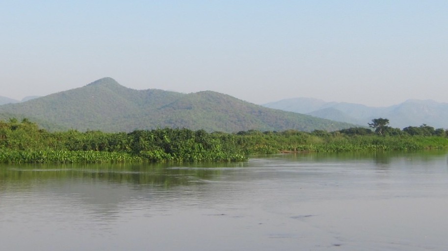
The La Plata Basin
The La Plata Basin is the world’s largest connected freshwater wetland system. It is rich in biodiversity and serves as a crucial regulator of local and global weather and climate. It is also important to the social and economic well-being of millions of people.
The river basins of the Paraguay and Parana rivers extend for more than 3,400 kilometres from south-eastern Bolivia and Brasilia south to the mouth of the La Plata River near Buenos Aires. Together they form the La Plata Basin. The La Plata Basin covers diverse climatic zones in an area of approximately 400,000 square kilometres that reaches across Argentina, Bolivia, Brazil, Paraguay and Uruguay. It is home to many remote (indigenous) communities as well as some of the largest cities of the region, including the capital cities of Asunción, Brasilia, Buenos Aires and Montevideo.
Biodiversity
The wealth of biodiversity in the La Plata Basin is fed by several grand and diverse biomes that converge towards the system. They include the Amazon, the Cerrado, the Gran Chaco, the Atlantic Forest, the Pampas and humid subtropical savannas. The rivers and streams of La Plata Basin are abundant in diverse fish species. The forested areas and grasslands are home to many birds, mammals, insects and reptiles. Among the many remarkable species in the region are the jaguar, capybara, cayman, marsh deer, hyacinth macaw, jabiru stork and the beautiful blue morpho butterfly.
Local economy
The La Plata Basin region is unique in its social, cultural and economic diversity. The biomes of the basin are integral to the region’s local economies. Thousands of local communities – forest dwellers, fisher peoples, small-scale agricultural producers and honey producers – depend on the basin’s ecosystems. The basin also provides food, drinking water and economic opportunities for millions of people living in the cities.
Climate mitigation and adaptation
The La Plata Basin’s wetlands play a vital role in regulating the water levels of the region. Wetlands act as a sponge, capturing water in humid periods and releasing it in dry periods. This is of crucial importance for protecting the region’s inhabitants from floods and drought, especially at a time when climate change is profoundly altering the region’s rainfall patterns.
The region’s wetlands and forests also serve as precious carbon sinks. When a wetland dries or a forest is cut, large amounts of CO2 are released into the atmosphere, accelerating global warming, and altering local weather, water flows and soil health.
Threats to La Plata’s Basin wetlands and ecosystems
The La Plata Basin is confronted with significant societal challenges, including high levels of poverty and inequality, and accelerating deterioration of the region’s fragile ecosystems due to changes in water cycles, flooding, droughts and, increasingly, fire. These changes are the direct result of expansion of cattle ranging and large-scale agriculture, particularly soy production, combined with climate change. Agribusiness is accompanied by infrastructure projects, including new roads, waterways, ports and hydroelectric dams, that are gravely threatening the basin’s unique ecosystems – its forests, rivers, and wetlands, its unique flora and fauna, and the millions people who depend on them.
Wetlands without Borders: Preserving the La Plata Basin
Preservation of the La Plata Basin, with its hydrological functions and biodiversity, is essential for protecting the region from flood and drought, and preserving the quality of life, including access to clean water and food sovereignty, of its inhabitants. Wetlands without Borders aims for the preservation and restoration of the La Plata Basin and to promote sustainable development in the region.